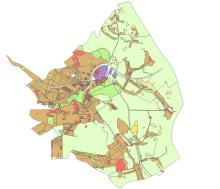
19 maja kolejna dyskusja nad projektem Planu Ogólnego Gminy

We wtorek (19 maja) o godz. 16.00 odbędzie się kolejne spotkanie poświęcone projektowi Planu Ogólnego Gminy Konstancin-Jeziorna. Okazją do dyskusji nad dokumentem będzie posiedzenie Komisji Ładu Przestrzennego i Spraw Komunalnych Rady Miejskiej.